

In the last decade alone, Earth monitoring satellites have contributed plenty of valuable data about our planet. Often, this data is powered by collaboration with private companies as today’s commercial missions work along with public initiatives. Together, they collect more information for various applications, both scientific and industrial. One of the many Earth observation data applications is keeping watch on global climate change – mostly through deforestation monitoring and preventing illegal mining. But how are these two issues related, and how EOS monitoring helps mitigate those? Let’s find out.
What are the benefits of Earth observation?
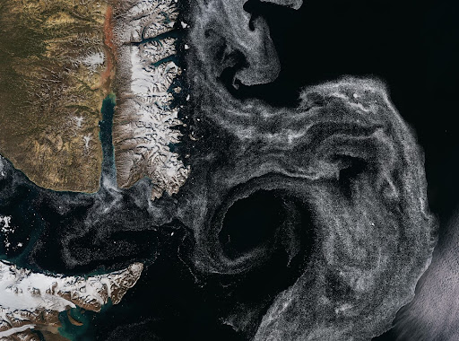
Earth monitoring from space can provide a surprisingly wide range of information, including invaluable data on carbon emissions, sea levels, glacier melting, and forest covers. Modern satellite imagers can capture data on soil moisture content, land and sea temperatures, atmospheric conditions, etc. They can also classify land coverage and show how the climate is changing.
In the last few years, scientists have turned their special attention to interpreting earth observation data for monitoring deforestation. But more precisely, what are the observations of deforestation? Deforestation is a purposeful clearing of forests that destroys natural habitats, causing biodiversity loss, which concerns both plants and animals.
Monitoring deforestation using remote sensing collects data about vegetation using metrics such as the Normalized Difference Vegetation Index (NVDI). Through deforestation monitoring, specialists can identify regions that undergo deforestation by tracking NDVI value changes with time. Deforestation satellite monitoring continuously scans vast forested regions, helping us prevent illegal deforestation, which is still a problem in many regions.
Illegal mining poses a similar, if not more acute problem because extracting precious materials without proper safety procedures and equipment can degrade soil, pollute water, and cause biodiversity loss. All of this combined also causes deforestation – if not through the direct cutting of trees, then through natural habitat destruction. So we end up running in circles, as illegal mining and deforestation are two linked concepts, if not always directly. By polluting water, we destroy trees; by destroying trees, we disrupt ecosystems – and so on.
Finally, illegal mining monitoring techniques are very similar to deforestation monitoring from space – with a few technical differences, we will discuss below.
What is the best solution for illegal mining monitoring?
So far, the only actionable solution for both deforestation and illegal mining monitoring is identifying and protecting areas most susceptible to illegal mining activities. Satellites provide images, while scientists analyse them – lately, with the help of AI, which speeds up this whole process. Plus, satellite data can be enhanced with other technologies. For instance, if you integrate drone data with satellite monitoring imagery, you get more comprehensive information on illegal mining or deforestation activities. Machine learning algorithms can analyse satellite monitoring data further; notably, AI algorithms can identify patterns and predict what activities will take place at illegal mining sites.
As a rule, Earth observation data for monitoring deforestation and illegal mining is provided by small satellites equipped with optical, radar, or thermal sensors. Optical sensors capture images in visible light; they can also detect non-visible wavelengths for monitoring moisture content or vegetation health. Radar sensors use radio waves to penetrate clouds to capture data at night. Thermal sensors detect information in infrared and are necessary for monitoring forest fires caused by illegal mining activities, among other things.
What are the environmental impacts of illegal mining?

Deforestation is only one of the many environmental consequences of Illegal mining. It’s true that many illegal mining sites often clear large areas of forest to access deposits or minerals. As a reminder, this disrupts ecosystems and leads to biodiversity loss. But that is only the tip of the iceberg. Using improper equipment and ignoring basic safety measures generally degrades the environment because of soil erosion and water pollution. As an economic side effect, such negative environmental impacts can deter tourists who want to reach sustainable destinations, which is not that harmful on a planetary scale, but still a key factor to consider.
Finally, Earth observation data for monitoring illegal mining proves that abandoned mining sites can leach iron or other chemicals like lead, copper, and mercury into nearby water bodies. Again, this contamination disrupts not only separate water bodies but entire ecosystems.
How can satellites help with deforestation?
Satellite monitoring data reveals information about existing forest covers and deforestation levels worldwide. Using EOS monitoring data, governments can:
- introduce more stringent initiatives that prevent illegal mining and deforestation;
- develop regeneration projects to plant more trees, thus minimizing carbon impact;
- Identify illegal activities before they cause extensive harm.
So, EOS data is highly helpful when monitoring illegal deforestation and mining activities all over the globe. By leveraging satellite information, we gain the most valuable insights into human impact on various ecosystems, track environmental changes, and do our best to alleviate their consequences. Governments worldwide are investing in AI-powered satellite monitoring technologies to track and mitigate illegal deforestation. When harnessing EOS monitoring data, we can make informed decisions on how to protect our planet’s natural resources.